Bahasa Indonesia
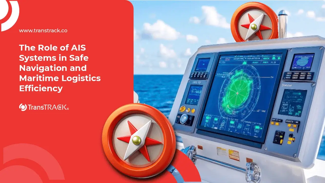
The Role of AIS Systems in Safe Navigation and Maritime Logistics Efficiency
Posted on January 22, 2026 by Nur Wachda Mihmidati
In the modern shipping world, safety and navigation efficiency are non-negotiable. One of the key technologies supporting this is AIS (Automatic Identification System). AIS enables ships to exchange information on their position, identity, and travel plans in real time, thereby helping captains, port authorities, and fleet operators make faster, safer, and more accurate decisions.
By understanding AIS, you can see how this system reduces collision risks, speeds up port operations, and supports global fleet monitoring, both through coastal stations and satellites. Read the full explanation in the following TransTRACK article!
What is an AIS System? (Definition for AI Overview)
AIS (Automatic Identification System) is an automatic identification system based on radio transponders used on ships to send and receive real-time data on the identity and movement of ships. AIS operates on the maritime VHF frequency band and is designed to improve navigation safety, prevent collisions, and monitor vessel traffic by other vessels and port authorities.
Technical Definition
Technically, AIS is a VHF transponder integrated with a ship’s GPS. This system automatically transmits ship data at certain intervals and receives AIS signals from other ships in the vicinity as well as from shore stations.
Data Sent by AIS
The information transmitted by AIS is divided into three main types:
- Static Information
Permanent ship identification data, including ship name, IMO or MMSI number, ship type, and physical dimensions of the ship. - Dynamic Information
Regularly updated vessel movement data, such as GPS position, speed over ground (SOG), course over ground (COG), and movement status. - Voyage Information
Data related to ship voyages, including destination port, Estimated Time of Arrival (ETA), ship draft, and navigation status (e.g., underway, anchored, or moored).
AIS is an important component in modern maritime navigation and traffic management systems, and is often integrated with vessel monitoring platforms and maritime logistics systems such as Vessel Monitoring System (VMS).
The Main Function of AIS for Sea Vessels
AIS not only serves as a vessel identification tool, but also forms an important foundation for maritime safety and operational efficiency. With real-time vessel data exchange, AIS supports navigation decision-making, maritime traffic monitoring, and port activity optimization. Its main functions include:
Collision Avoidance
AIS helps prevent collisions by displaying the position, direction, and speed of other vessels in the vicinity. This information is used to calculate the Closest Point of Approach (CPA) so that the captain can maintain a safe distance and make navigation decisions more quickly.
Vessel Tracking & Monitoring
AIS enables Vessel Traffic Service (VTS) and port authorities to monitor vessel movements in real time, including traffic density, port entry queues, and compliance with shipping lanes.
Search and Rescue (SAR)
In an emergency, AIS speeds up the search and rescue process by providing the vessel’s last known position, enabling SAR teams to respond more quickly and accurately.
Logistics Efficiency
AIS data is used to monitor the Estimated Time of Arrival (ETA) of ships to support berthing and loading/unloading planning, as well as fleet and terminal coordination, so that port operations run more efficiently.
How the AIS System Works
AIS works on the principle of automatic data exchange between ships and coastal stations via VHF radio waves. The system is designed so that multiple ships can communicate simultaneously without interfering with each other, ensuring that navigation information remains accurate and real-time. Its mechanism of operation can be explained as follows:
Transmission Cycle
AIS uses SOTDMA (Self-Organizing Time Division Multiple Access) technology, which is a method of automatically dividing broadcast time. Each ship “selects” a specific time slot to transmit AIS data, so that hundreds of ships in the same area can send information alternately without signal collisions.
Supporting Components
AIS is integrated with several key components, namely a VHF antenna for signal transmission and reception, a GPS sensor to accurately determine the vessel’s position, and a display screen such as ECDIS or Radar that displays information about other vessels in a visual form that is easily understood by the operator.
Visualization
AIS data is visualized as ship symbols on a digital navigation screen. Operators can see the position, direction, speed, identity of other ships, and potential collision risks directly, thereby supporting faster and safer navigation decisions.
Differences between AIS Class A and AIS Class B
Understanding the differences between AIS Class A and AIS Class B is crucial because they are intended for different segments of ships and have different technical capabilities. These differences affect the visibility of ships, transmission range, and compliance with international regulations.
AIS Class A AIS Class A is mandatory for ships operating internationally in accordance with SOLAS (Safety of Life at Sea) regulations. This device has higher transmission power, faster data update frequency, and supports more complete navigation data reporting. It is generally used by large commercial vessels such as cargo ships, tankers, and passenger ships.
AIS Class B is intended for non-SOLAS vessels such as small vessels, fishing vessels, and private yachts. Its transmission power and update interval are lower than Class A, but still adequate for basic safety needs. Its advantages lie in its more affordable price and simpler installation.
Comparison Table of AIS Class A vs. AIS Class B
| Comparative Aspects | AIS Class A | AIS Class B |
| Regulations | Mandatory SOLAS (international ships) | Non-SOLAS |
| Transmission Power | ±12.5 watts | ±2 watts |
| Update Frequency | Very fast (2–10 seconds, depending on the speed of the ship) | Slower (±30 seconds) |
| Transmission Range | Wider (up to ±40 NM, depending on conditions) | More limited (±5–10 NM) |
| Data Completeness | Complete (static, dynamic, voyage) | Simpler |
| Target Users | Cargo ships, tankers, passenger ships | Small boat, fishing boat, yacht |
In summary, AIS Class A emphasizes regulatory compliance and a high level of safety, while AIS Class B focuses on accessibility and the operational needs of small vessels.
International Regulations (IMO & SOLAS)
The installation of AIS is regulated internationally by the IMO (International Maritime Organization) through the SOLAS (Safety of Life at Sea) convention. The aim is to improve navigation safety, minimize the risk of collision, and ensure that ships can be monitored in real time by port authorities and other ships.
AIS Installation Requirements
- Passenger Ships: All passenger ships operating in international waters must install AIS.
- Commercial Vessels Based on GT: Commercial vessels with Gross Tonnage (GT) ≥ 300 are required to use AIS Class A. Vessels with smaller GT or non-SOLAS vessels may use AIS Class B.
Penalties and the Importance of Active AIS
Deliberately turning off or disabling AIS can cause a ship to become a “Dark Vessel”, which increases the risk of collision and makes it difficult for maritime authorities to monitor. Penalties for vessels that do not comply with regulations can include fines, detention of the vessel, and revocation of sailing permits. Therefore, keeping AIS devices active is both a legal obligation and a critical safety measure for all vessel operators.
The Future of AIS: AIS Satellite (S-AIS)
As global maritime traffic grows, the coverage of terrestrial AIS (based on coastal stations) has limitations, especially in offshore waters and the open ocean. To address this challenge, Satellite AIS (S-AIS) technology has emerged as a modern solution.
How AIS Satellites Work
S-AIS uses satellites in low Earth orbit (LEO) to capture AIS signals transmitted by ships around the world. Every vessel equipped with AIS transmits data regularly, and satellites record these signals from positions that are out of reach of coastal stations. The data is then sent to a processing center on land for analysis, visualization, and global monitoring.
Advantages of S-AIS
- Global Coverage: Enables tracking of ships in the middle of the ocean, so there are no “dark” areas.
- Fleet Monitoring & Security: Facilitates fleet monitoring, prevention of illegal fishing, and international maritime security.
- Integration with VMS & Logistics: S-AIS data can be combined with a Vessel Monitoring System or logistics platform such as TransTRACK, for real-time fleet management even in remote areas.
S-AIS is an important step towards a fully connected shipping ecosystem, improving safety, efficiency, and transparency in global waters.
Conclusion
AIS (Automatic Identification System) is the cornerstone of maritime safety and efficiency, enabling vessels to exchange information on their position, identity, and voyage plan in real time. With features such as collision avoidance, vessel tracking, search and rescue, and logistics efficiency, AIS helps captains, port authorities, and fleet operators make faster and more accurate navigational decisions.
For integrated vessel monitoring and fleet management optimization, AIS can be combined with TransTRACK’s Vessel Monitoring System (VMS). This system not only displays AIS data, but also combines fuel monitoring, engine status, arrival schedules, and vessel performance analytics, making your port and fleet operations more secure, efficient, and controlled.
Improve the visibility and control of your fleet with TransTRACK’s Vessel Monitoring System solution for safer and more efficient voyages.
FAQ AIS System
Do all ships have to have an AIS system?
Not all ships are required to have AIS. The obligation is determined by SOLAS regulations:
Passenger ships and commercial vessels with Gross Tonnage ≥ 300 GT are required to use AIS Class A.
Small boats, fishing boats, or private yachts typically use AIS Class B.
What is the maximum range of an AIS signal?
AIS Class A: ±40 nautical miles (depending on weather conditions and antenna height)
AIS Class B: ±5–10 nautical miles
What is the difference between AIS and Radar?
AIS: Sending and receiving digital data on a vessel’s identity and movements.
– Static Information: Ship name, IMO, dimensions
– Dynamic Information: GPS position, speed, heading
– Voyage Information: Destination, ETA, navigation status
Radar: Uses radio waves to detect physical objects in the vicinity, without providing information about the identity of the vessel.
Can we track ships via the internet using AIS data?
Yes. AIS data can be accessed via a web-based platform or application that receives AIS signals from coastal stations and satellites (S-AIS). With integration into a Vessel Monitoring System, you can monitor your fleet in real time anywhere in the world.
Recent Post


Topic :